
Parameter: RetentionThe retention reflects the possibility, or not, of keeping the hydrocarbons trapped in the potential reservoir-rock. The evaluation of this parameter, which is very often forgotten, implies a perfect knowledge of the regional and global tectonic evolution of the basin.
The origin of the surface seepages, thanks to which most of the major oil discoveries were made, is the consequence of a poor retention. In this regard, it is important to recall the metaphor proposed by A. Perrodon (1980): "The problem with surface seepages is whether they represent the vanguard of large battalions that have remained buried, or if, on the contrary, they are only the last witnesses of a decimated rear guard".
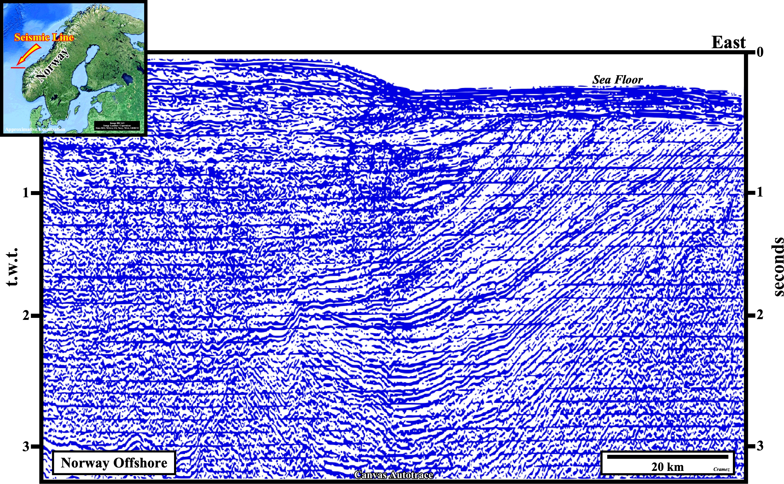
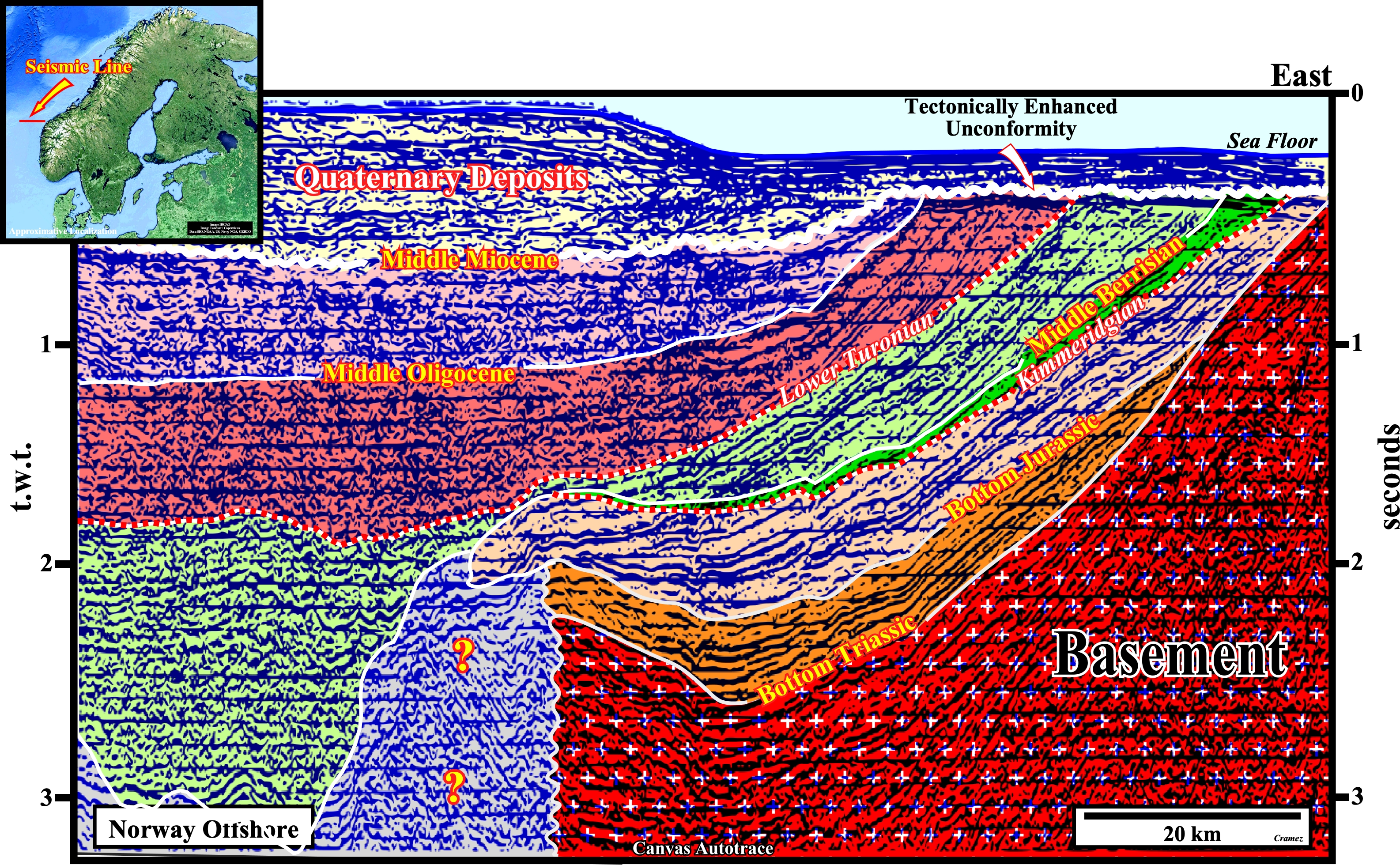
On this tentative geological interpretation of a Canvas autotrace of a seismic line from the West Norway offshore, the isostatic uplift (rebound or readjustment) induced by the discharge (melting) of the glacial ice, that covered the North Europe and, particularly, Norway during the beginning of the Quaternary, is perfectly visible. It can destroy hydrocarbon accumulation predating the isostatic uplift. At the top of this tentative interpretation, reflector terminations underline a tectonically enhanced unconformity (angular unconformity), which emphasizes the relative sea level fall that occurred during Quaternary. The enormous weight of the ice layer forced the crust to deform in an inverted bell shape (syn-form, extensional structure, the rocks are lengthened), which forced the material of the terrestrial mantle to flow away from the overloaded area. Since the temperature had increased and the ice began to melt, the removal of the overload from the sunken region caused an uplift of the area and a return of the material from the Earth's mantle to its original position, that it had before glaciation. Taking into account, the viscosity of the mantle material, it will, probably ,take several thousand years for the Earth's surface to reach an isostatic equilibrium. For an ice thickness of about 2,000 m , the terrain sank about 700 meters (the ice density is about 1/3 of the density of the mantle).

![]()
![]()
Send E-mails to carlos.cramez@bluewin.ch with comments and suggestions to improve this atlas.
Copyright © 2001 CCramez
Last update:
2022
![]()