
This is the homepage of an atlas of the principal Canvas or manual autotraces of deep offshore seismic lines of the majority of the geographic petroleum basins and few basic geological cross sections and conventional offshores seismic lines. This atlas was prepared, mainly, for geoscientists interested in petroleum exploration, using collective intelligence tools as Wikipedia without which I couldn't even consider doing it. Clicking on the hyperlinks (underlined text and bots), you can browse through all offshores around the continents and find key Canvas autotraces of the seismic lines with respective tentative geological interpretation when possible, often, with an explanatory text.
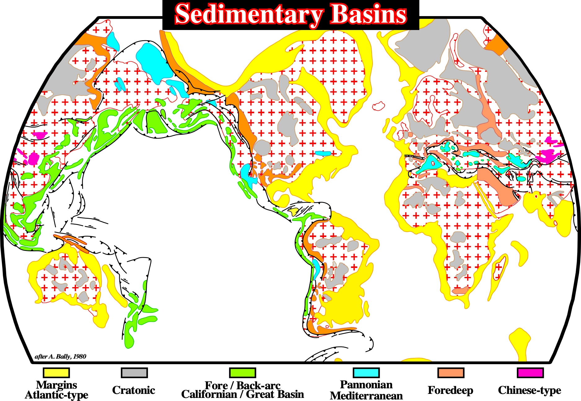
In this atlas, we have adopted the classification of the sedimentary basins proposed by A. Bally & Snelson (1980). This classification, based on the Plate Tectonics paradigm, explains, clearly, the different realms of subsidence, which partially, control, the development of Petroleum Systems. This classification will be review on the first chapter of this atlas.
The main types of sedimentary basins considered in the Bally and Snelson basin classification are illustrated on the map above, which represents the Present Time geological situation. However, we have used the Bally's classification temporally and spatially. In other words, the Angola offshore (Western Africa), for instance, corresponds, presently, to a continental Atlantic-type margin, but in time and in space it corresponds to the stacking of three main types of sedimentary basins. In fact, from bottom to top, three types of sedimentary basins can be recognized :
(i) Precambrian Fold Belt (substratum, on the proximal area) ;
(ii) Jurassic - Lower Cretaceous Rift-Type Basins and
(iii) A Meso-Cenozoic Atlantic-Type Divergent Margin.
Similarly, in the Gulf of Mexico, in order to understand the different potential Petroleum Systems, two types of sedimentary basins must be recognized. From bottom to top, they are :
a) A Paleozoic Fold Belt (Appalaches Mountain) as a substratum and
b) A Mesozoic/ Cenozoic Mediterranean basin i.e., a divergent margin of type non-Atlantici devloped above a Pannonian basin.
You can participate to the improvement of this atlas. If you have relevant regional seismic lines or autotraces in sedimentary basins that are not illustrated in this atlas, you can send me an unterpreted copy, without forget the location and the scales (horizontal and vertical). A tentative geological interpretation and some comments on the potential petroleum systems will be welcome. The autotraces (generally Canvas autotraces) of the original seismic lines incorporated in this atlas can be used by everybody.
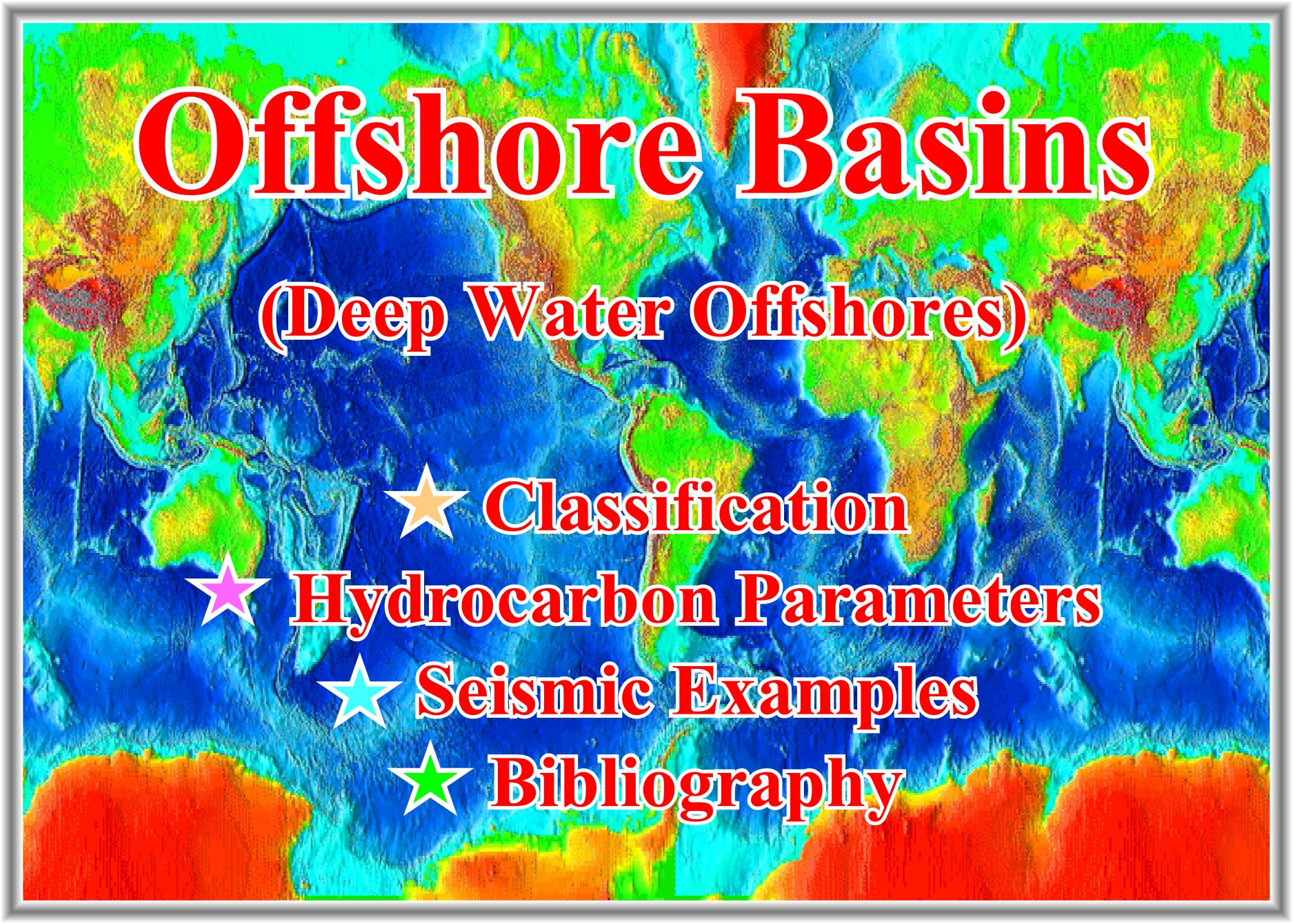
Three main chapter compose this atlas :
- Classification, you will find a classification of the sedimentary basins based on the classification proposed by A. Bally & Snelson, in 1980. Particular attention is given to the classification of the offshore geographic basins.
- Hydrocarbon Parameters, you will find a general review of the main hydrocarbon parameters creating a Petroleum System, i.e. (i) Source Rocks, (ii) Reservoir, (iii) Trapping, (iv) Migration and (v) Retention.
- Seismic Examples, you will find seismic examples with geological explanatory comments.
- Bibliography, in which you can find, for instance, the original of few autotraces used in this atlas.
![]()
Send E-mails to carlos.cramez@bluewin.ch with comments and suggestions to improve this atlas.
Copyright © 2001 CCramez
Last update: 2022
![]()