
East USA Offshore
South of Kodiak Island Offshore


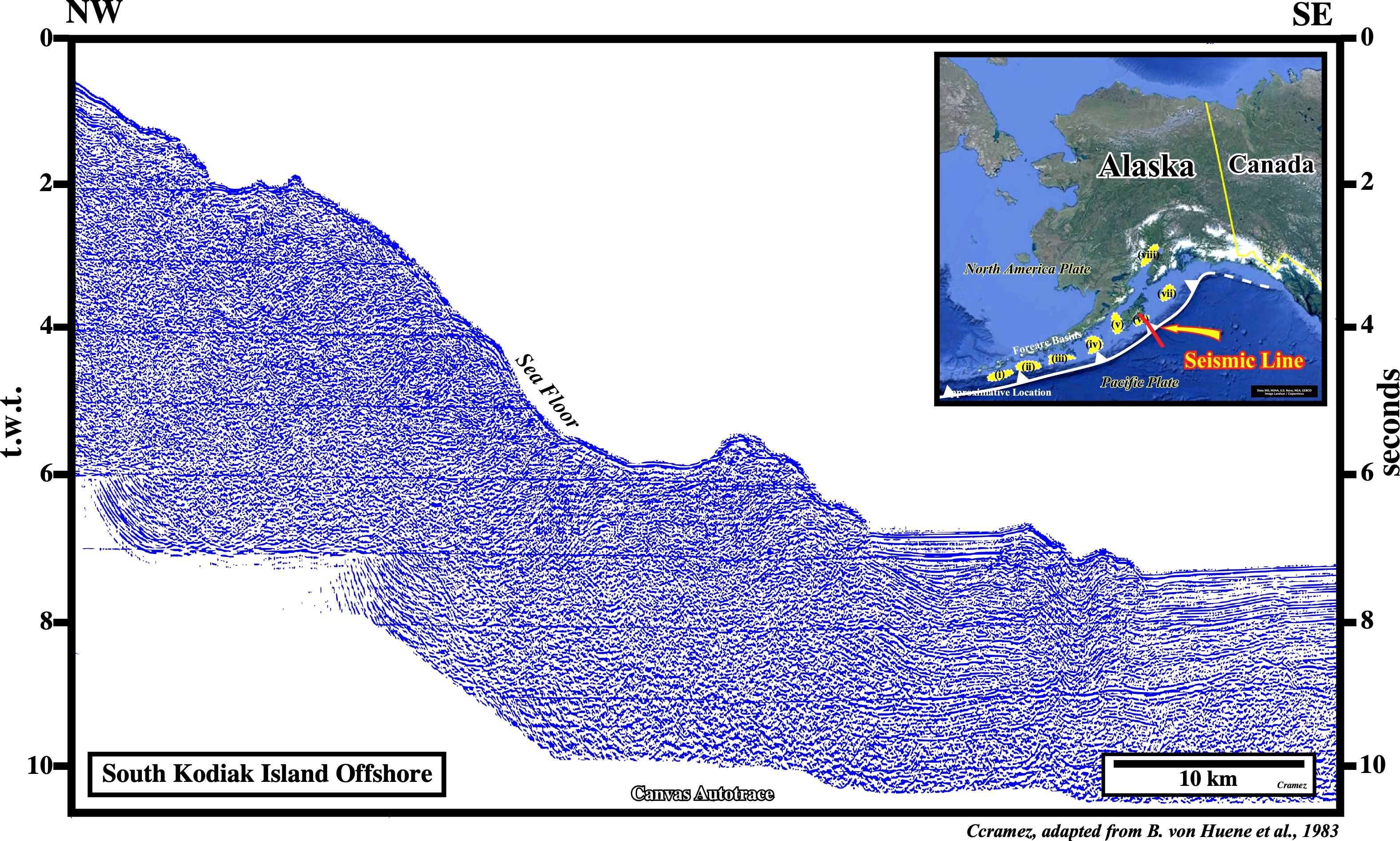
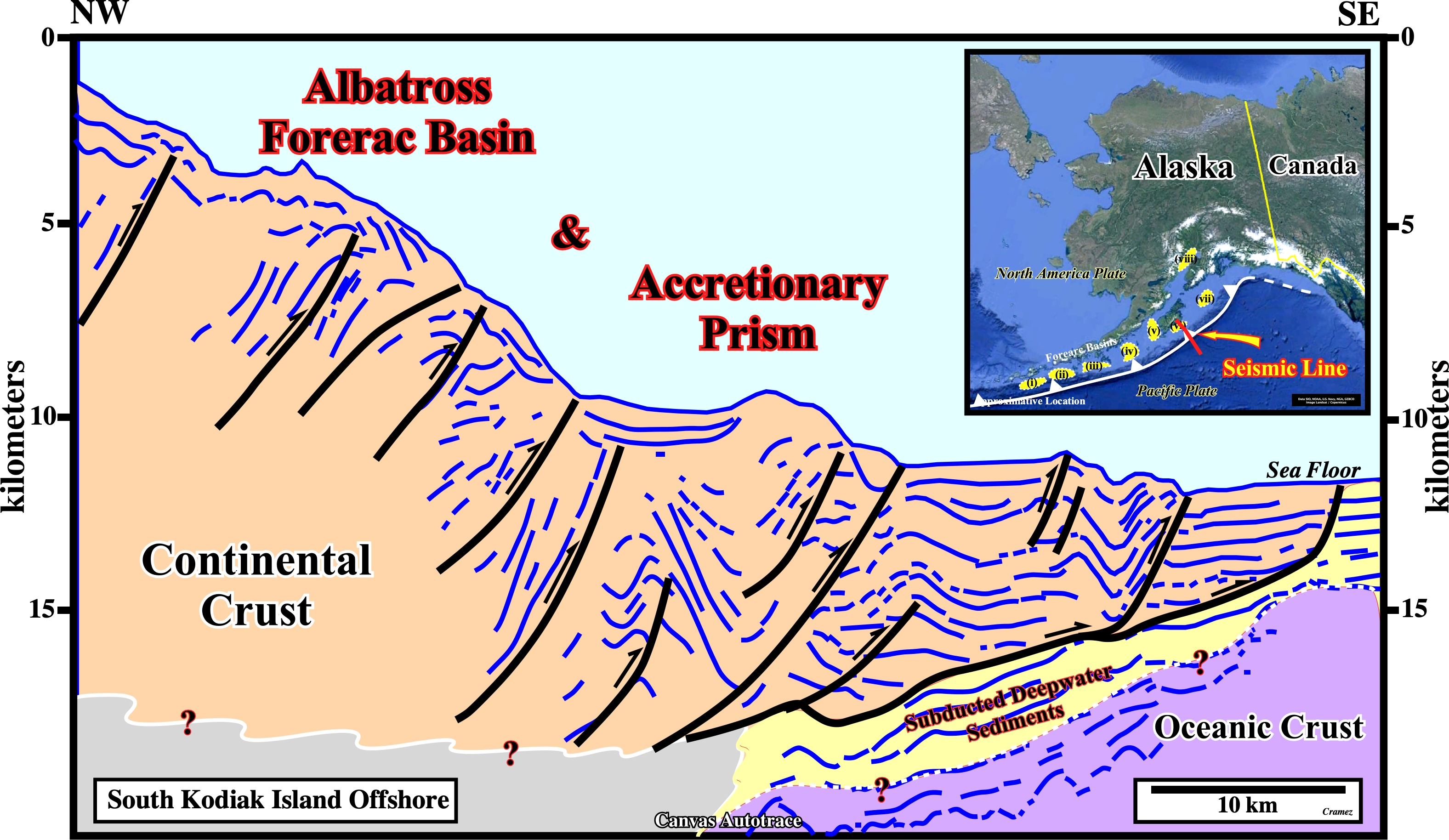
This depth tentative geological interpretation of the original seismic line of the Canvas autotrace depicted above, illustrates not only the subduction of the Pacific lithospheric plate beneath the North America plate, but the typical triad (accretionary prism - forearc basin - continental crust (pre-Neogene)) of the convergent margin as well. On the location map are highlighted the main forearc basins of this convergent margins : (i) Unalaska ; (ii) Unimak ; (iii) Sanak ; (iv) Sumagin ; (v) Tugidak ; (vi) Albatross ; (vii) Stenvenson and (viii) Cook Inlet. Seems then Alaska convergent margin can be considered as transition from erosional to accretionary margin that occurred around 3-6 Ma following an increasing in sediment supply from glacial erosion in Alaska.
Send E-mails to carlos.cramez@bluewin.ch with comments and suggestions to improve this atlas.
Copyright © 2001 CCramez
Last update:
2022