
South America
Clicking on a red circle, one or several Canvas autotraces of typical deepwater seismic lines of the area and their tentative geological interpretations are proposed.
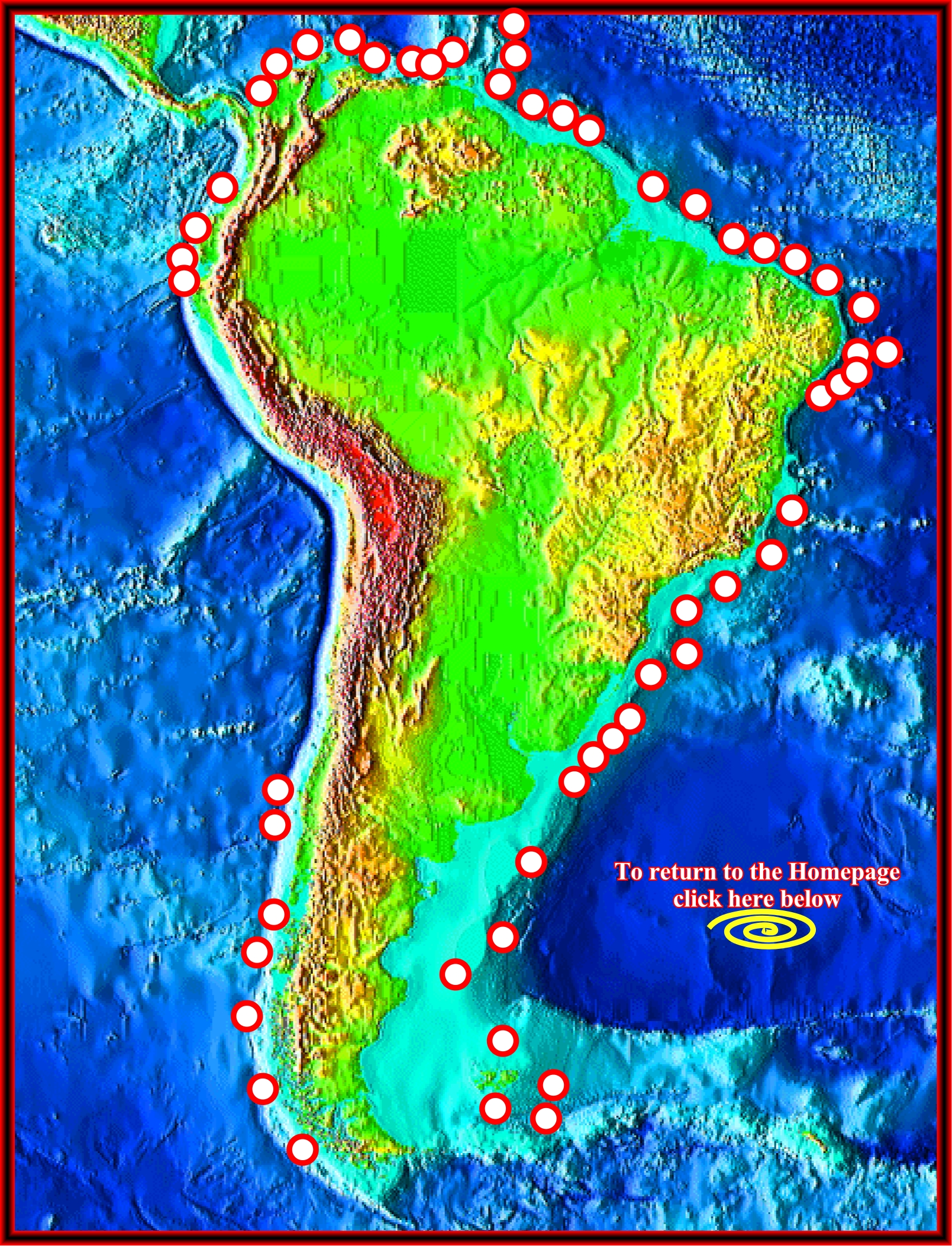
Due to confidential reasons, the original seismic lines, often, used for the tentative interpretations are not shown. By the same token, their locations, on the Google maps, are not, strictly, exact. A tentative geological interpretations of each autotrace is proposed. Knowing that falsification is the demarcation line between a scientific and pseudo-scientific geological interpretations (K. Popper's philosophy), using the uninterpreted Canvas autotraces, try to falsify the proposed tentative interpretation. If you refute the proposed tentative interpretation, please, send me the new tentative to improve this atlas. Thank you.
![]()
![]()
Send E-mails to carlos.cramez@bluewin.ch with comments and suggestions to improve this atlas.
Copyright © 2001 CCramez
Last update:
2022
![]()