
NW Australia Offshore
Northern Carnarvon Geographic Basin
The Northern Carnarvon Geographic Basin, which encompasses the Exmouth and Wombat Plateau, as well as, several geographic sub-basins Investigator, Rankin, Exmouth, Barrow, Dampier, Beagle, etc., is part of a large elongated cratonic, faulted and folded Phanerozoic basin (Carnarvon basin) between the Perth ¨ (south) and Cannin (north) geographic offshore basins. The onshore part of the Carnarvon Basin covers about 115 000 km2 and the offshore part covers approximately 535 000 km2 with water depths up to 3500 meters. The northern Carnarvon geographic basin evolved from a broad intra-continental basin in the late Paleozoic, through syn-rift sub-basins in the Jurassic to an Atlantic-type divergent margin in the Cenozoic. The generalized stratigraphy of the basin, can be related to several tectonic phases, which, in turn, are related to the rifting phases that culminated in the continental breakup of the west Australian margin in the Middle–Late Jurassic and Early Cretaceous: (i) Pre-rifting (Silurian to Toarcian) ; (ii) Rift-type basin, in which three main phases of rifting can be recognized : a) Toarcian to earliest Callovian, b) Earliest Callovian to Berriasian and c) Berriasian to Valanginian ; (iii) Post-breakup subsidence (Valanginian to mid-Santonian) and (iv) Atlantic-type divergent margin (mid-Santonian to present).
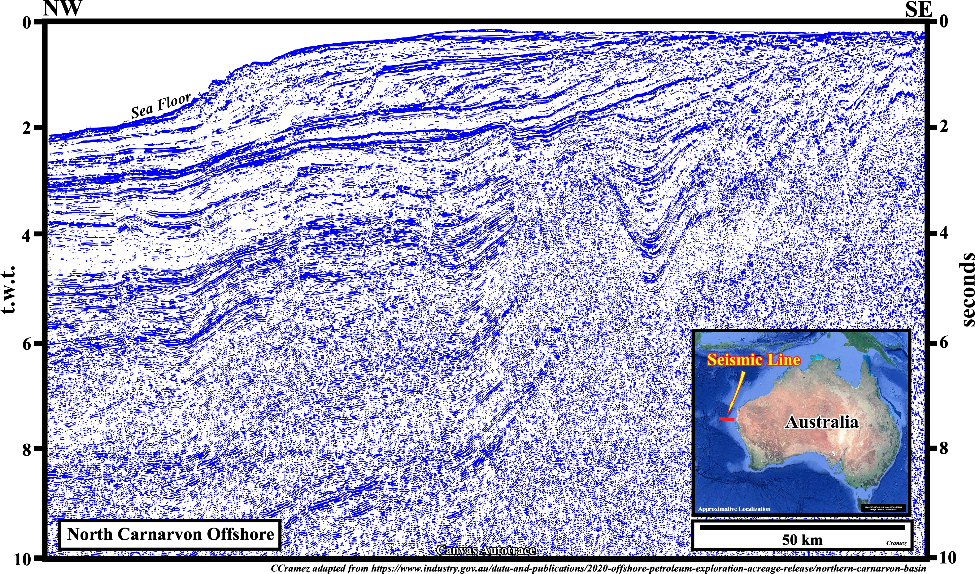
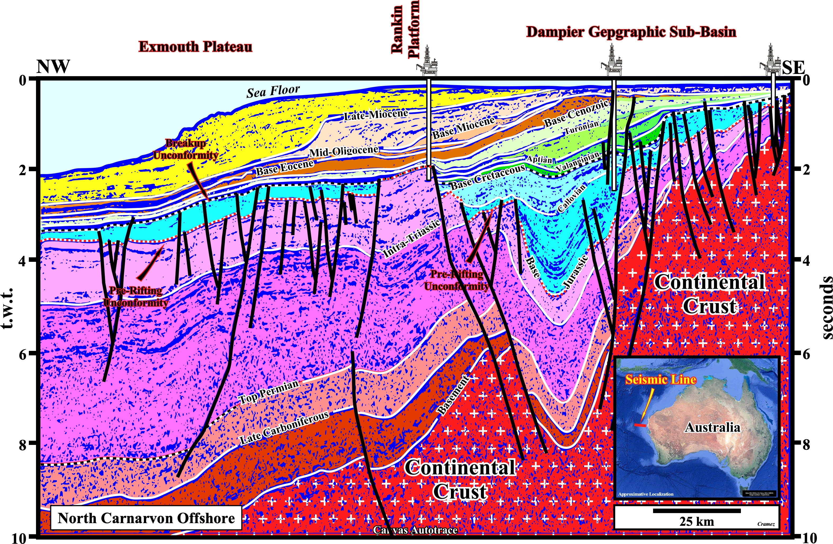
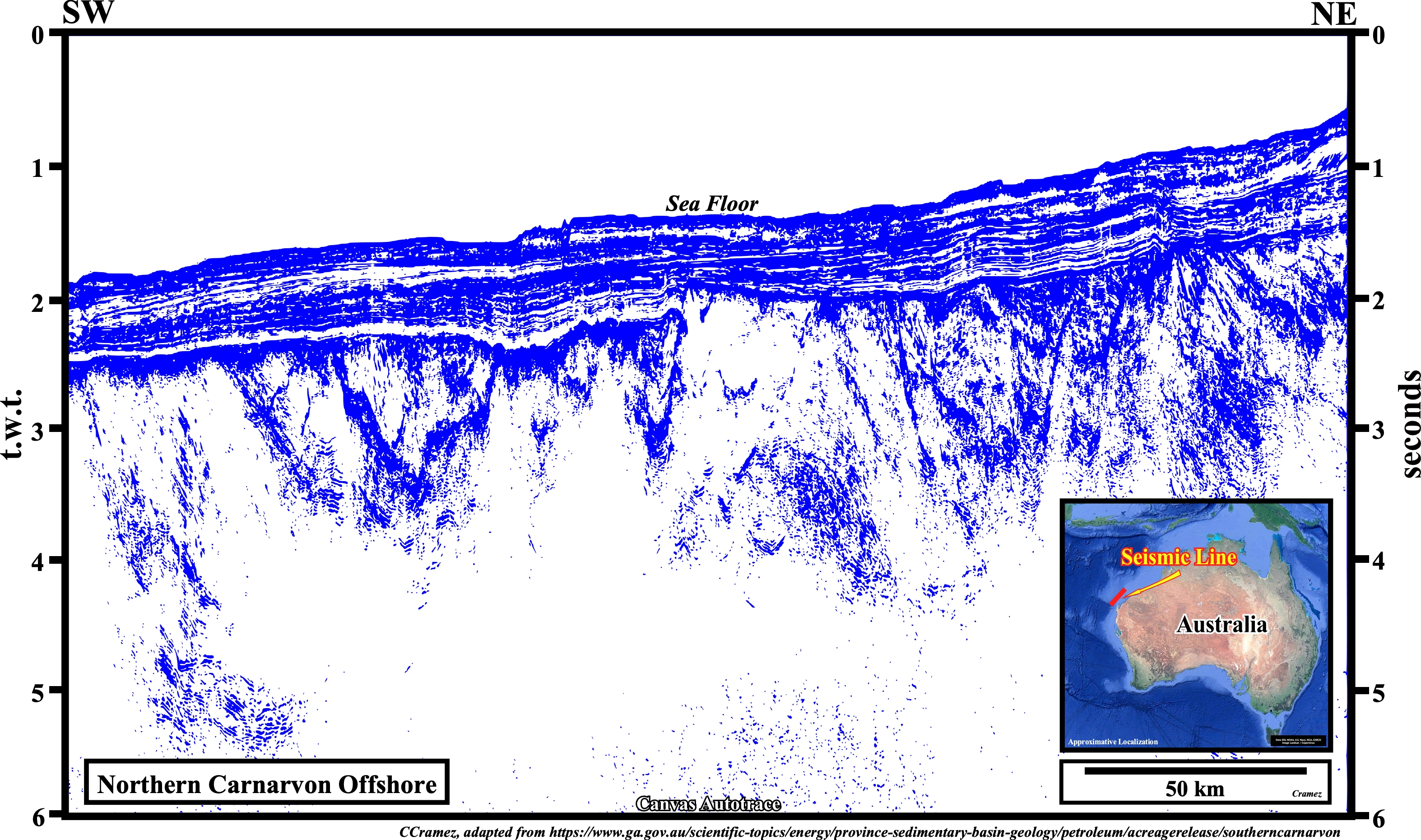
The pre-rifting unconformity (base Jurassic) and the breakup unconformity (near base Cretaceous) allow to divide this offshore in three major unities : (i) Pre-rifting strata (Triassic, Paleozoic and older) ; (ii) Jurassic rifting strata (Rift-type basins), during which a differential subsidence is predominant, in which different phases of rifting can be considered and (iii) Meso-Cenozoic Atlantic-type divergent margin associated with the formation of new oceanic crust. As illustrated on this tentative interpretation, in terms of thickness variation and realm of subsidence, it is difficult to consider the Triassic sediments as associated with a differential subsidence, i.e., considered as deposited in a rift-type basin, what is corroborated on the next autotrace.

On this tentative geological interpretation of a Canvas autotrace of a strike seismic line (roughly perpendicular to the present continental slope), the breakup unconformity is paramount, since it is tectonically enhanced (the overlying layers have a different dip than the underlying layers, i.e., there is a tectonic phase between the two stratigraphic cycles that it limits, synonym of angular unconformity or reinforced unconformity). As on the previous tentative interpretation, without addition data, the picking of the pre-rifting unconformity seems more likely at bottom Jurassic. It is not difficult to associated the Triassic strata to a rift-type basin, which geometry is, generally, that of an half-graben created by differential subsidence. In fact, where the lithosphere undergoes horizontal extension (lengthening), the crust will stretch until a normal faulting system occurs decreasing its thickness. The thinner crust subsides relative to thicker, undeformed crust.

![]()
![]()
Send E-mails to carlos.cramez@bluewin.ch with comments and suggestions to improve this atlas.
Copyright © 2001 CCramez
Last update:
2022![]()