Indonesia Offshore
North Bali Offshore

On this mega-regional geological cross-section based on a CGG regional seismic line shot between South Bali offshore and North Makassar, i.e., between the B-subduction zone, in which the oceanic crust plunges under a transitional volcanic crust, and the Mahakam delta, three major types of sedimentary basins are recognized: (I) A Backarc Basin, mainly, in the Sunda shelf / Paternoster platform ; (iii) A Forearc Basin, mainly, in north and south Bali offshore, where the southward migration of the volcanic arcs seems evident and (iii) A Non Atlantic-type divergent margin, in north Makassar area (Mahakam delta), since there is oceanization (see Page 9).

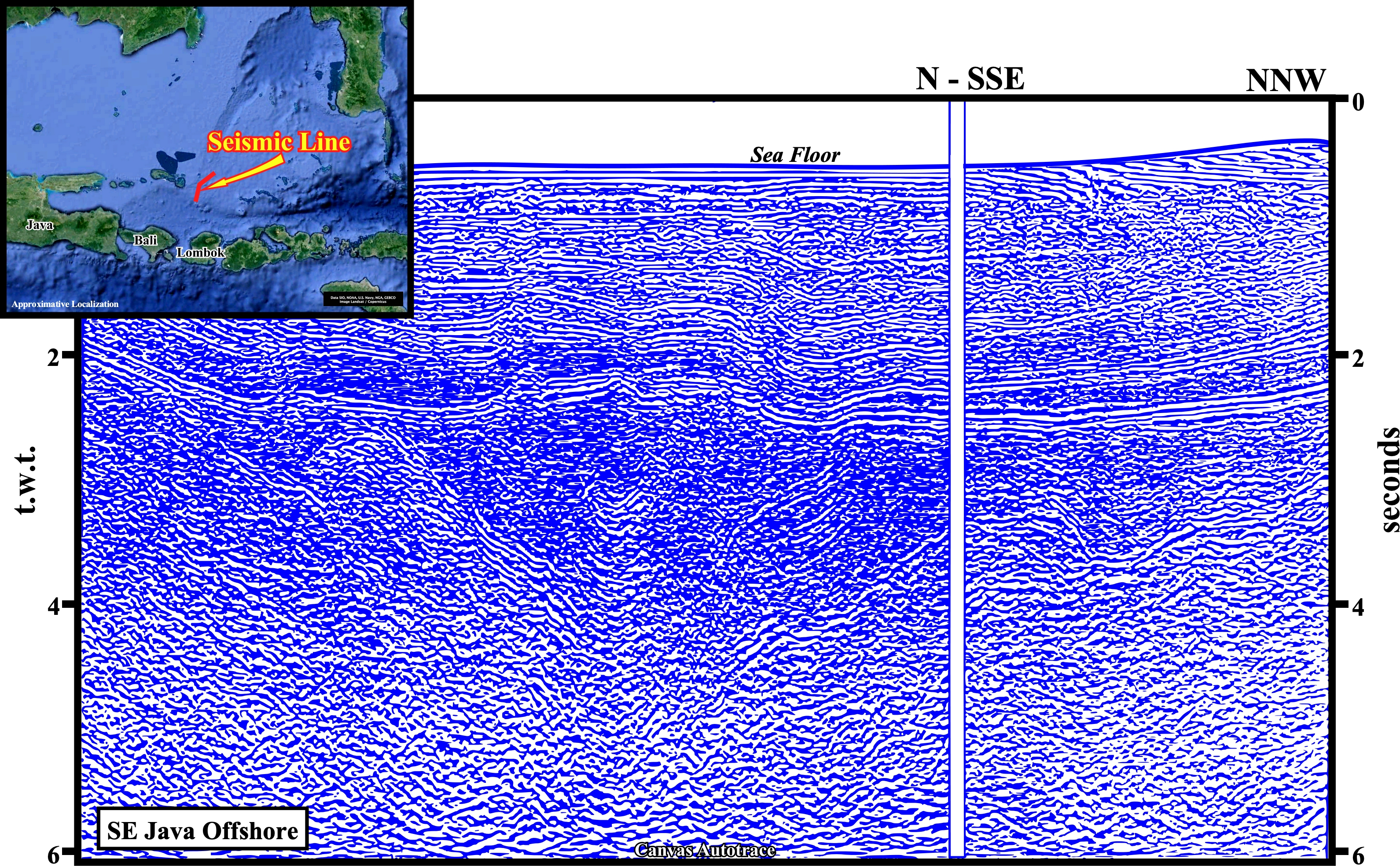
This autotrace of a detail of the CGG mega regional seismic line, just northward of the Bali Island, illustrates the Paleogene forearc, in the Southern East Java Sea, known as Bali geographic basin. Its northward limit is highlighted by the Central High (see next plate), where tectonic inversions are paramount, as illustrated below.

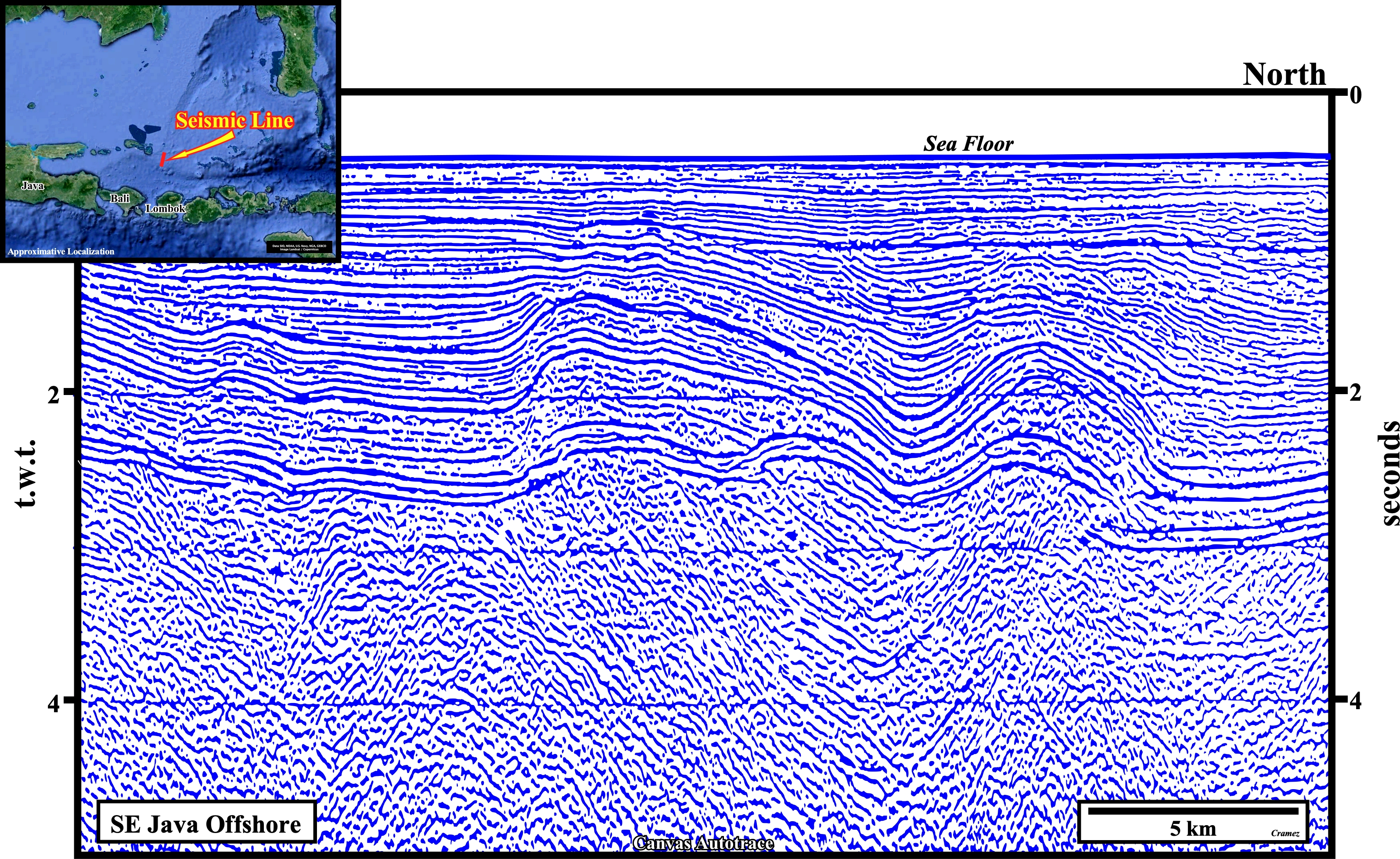
This tectonic sketch shows how the structural trends change northward and eastward of the Pulau Pagerungan area. Masalina and Doang troughs strike NE-SW. Salajar geographic basin and associated faults, strike NW-SE. The Central High is the northern limit of Southern geographic basin, i.e., of the Bali geographic basin. Eastward of the Central High zone, the structural trends changes to ENE-WSW. Let’s take a look at a Canvas autotrace of northern flank of the Central High (next figure).

In spite of the the beauty of this autotrace, particularly, at tectonic viewpoint, it must be said that the Upper Cretaceous sediments (infrastructure) have any petroleum interest. On the other hand, the thickness of the backarc basin is not big enough to mature the organic matter of potential source-rocks. The next close-ups suggest the more likely controlling factors of the tectonic inversion in these area.
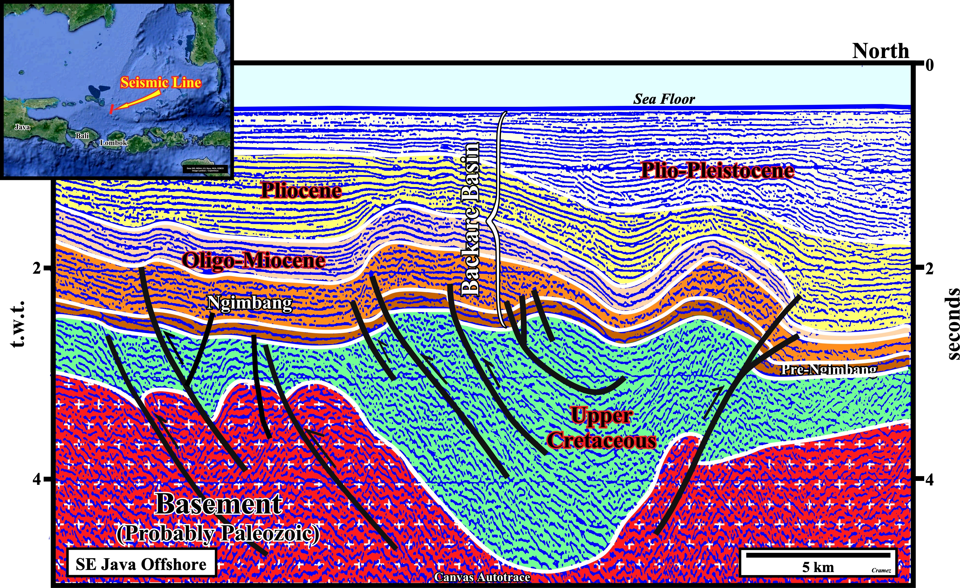
As in this area, the petroleum basement is mainly composed by pre-Tertiary sediments (Upper Cretaceous and older) and as the rift-type basins of the rifting phase of the backarc basin are quite large, i.e., with sharp but not enormous lateral thickness changes induced by normal fault movements, the Mio-Pliocene tectonic inversion is, mainly, controlled by the pre-rifting faults and the bedding planes of the pre-Tertiary sediments.
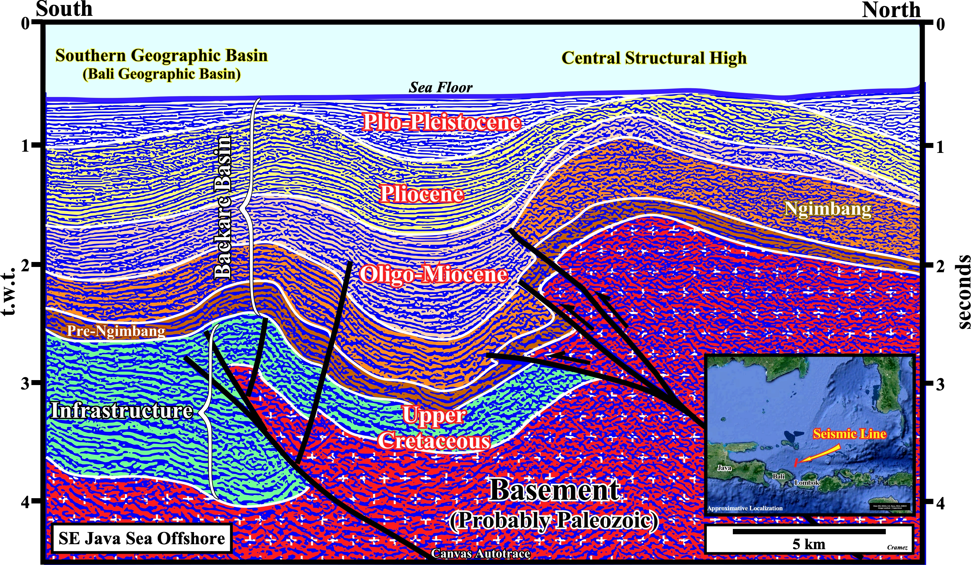
Here again, it is quite evident that the reactivation of the pre-rifting faults controls not ony the tectonic inversion of the back-arc basin, but, probably, the faults developed during the rifting phase of the backarc basin as well.
![]()
![]()
Send E-mails to carlos.cramez@bluewin.ch with comments and suggestions to improve this atlas.
Copyright © 2001 CCramez
Last update:
2022![]()